
Airport Operations Manual
The manual the flyslidell.com site links for pilots and tenants — request the current edition from the airport office.
Airport office
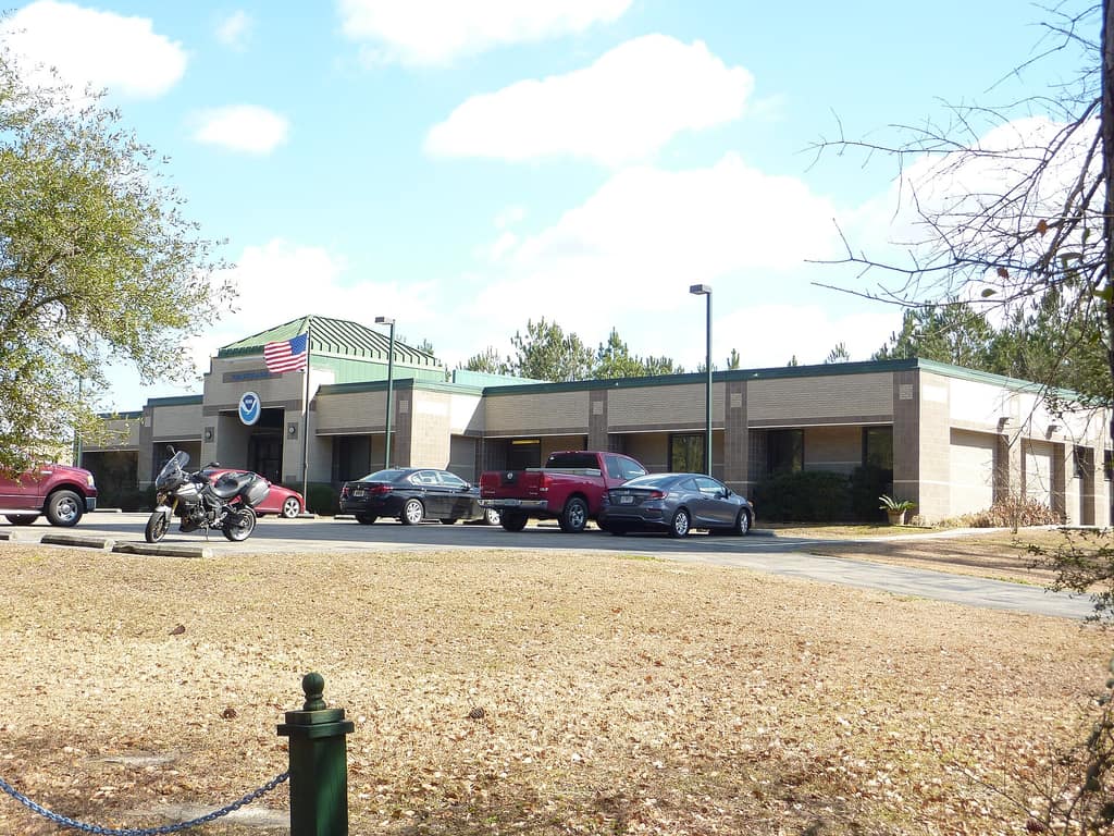
Slidell Municipal Airport
Operational details for pilots — as published by the City. Always confirm current NOTAMs before flight.
Runway & NAVAIDs
5,001′
asphalt runway
MIRL
medium-intensity runway lighting
PAPI
visual approach slope indicator
NDB
North and South non-directional beacons
The Slidell Municipal Airport is located approximately four and one-half miles northwest of the City of Slidell at 62512 Airport Road, Bldg. #12, Slidell, LA 70460. The Airport consists of 350 acres with a 5,001′ asphalt runway and is lighted with medium intensity runway lighting. Navigational AIDS include PAPI, NDB (North), and NDB (South). The Airport is classified as a reliever airport in the National Plan of Integrated Airport Systems.
The Slidell Municipal Airport is home to one fixed-based operation, 33 private hangar facilities, the National Weather Service Station, St. Tammany Parish Mosquito Abatement District #2 flying operations, Innovative Turbine Aircraft Solutions (aircraft maintenance & repair), and Cloud Chasers Skydive Inc. The Airport also supports two aviation organizations: the Experimental Aircraft Association and the Civil Air Patrol.
Radio frequencies, current fuel availability and NOTAMs are maintained by airport staff and will be published on this page of flyslidell.com; until then, contact the airport office at 985-641-7590 or airport@cityofslidell.org.
Pilot resources
The manual the flyslidell.com site links for pilots and tenants — request the current edition from the airport office.
Airport office
Questions
Jim Feulner, Airport Director · 62512 Airport Road, Bldg. #12, Slidell, LA 70460.